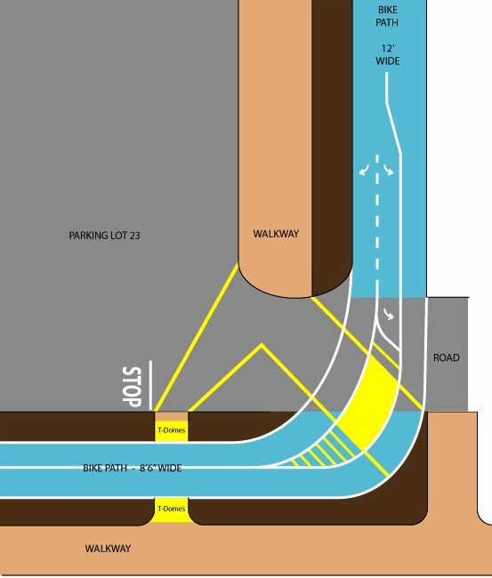
PROPOSED IMPROVEMENT TO BIKE CROSSING
OPTION 1: Paint Only
Given that the east to west bike path is 8’7” wide and the north to south bike path is 12’ wide, an inexpensive solution to the crossing problem would be to paint a yellow island in the wide portion of the turn for safer pedestrian traffic and add a bicycle turn lane for southbound traffic. (It is close to 16’ wide at the 45 degree point of the curve.)
Bike and Pedestrian Traffic Patterns |
Proposed Pedestrian Island and Bicycle Turn Lane |
|
 |
 |
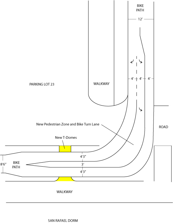
OPTION 2: Paint as above and extend pedestrian island to the west
If the bike path could be divided into two individual lanes at the ADA crossing, a pedestrian island could be added which would benefit all students in the San Rafael and Manzanita Village Dorms. This would involve moving the westbound lane one foot to the north and the easthbound lane to the south.
Note 1: Pedestrian traffic current tends to form an upside-down Y pattern with approximately half of the students heading to or from the west and the other half circling around San Rafael to the east.
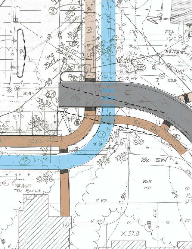
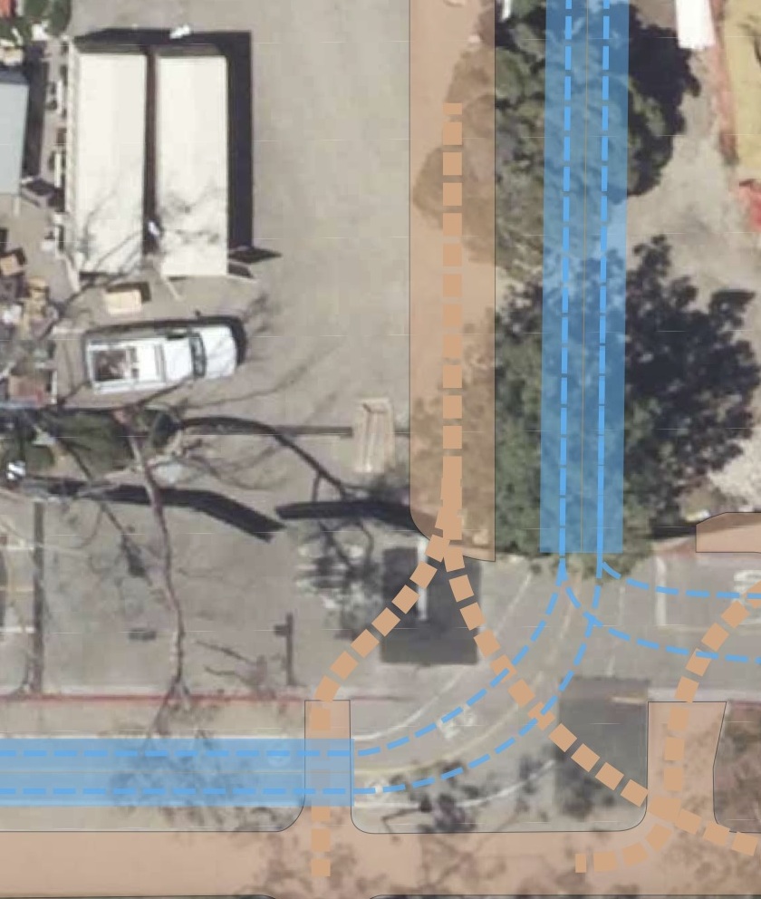
Note 2: The ramp (with proposed ADA T-Domes) is the nearest one to handicap parking in Lot 23. (See photos on main page)
OPTION 3: The Ultimate Solution
Designed by Dennis Whelan as the ultimate comprehensive solution to the crossing problem. The plan better aligns the N-S and E-W walkway connection, provides better pedestrain crossings, and expands parking in Lot 23.